|
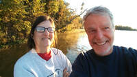
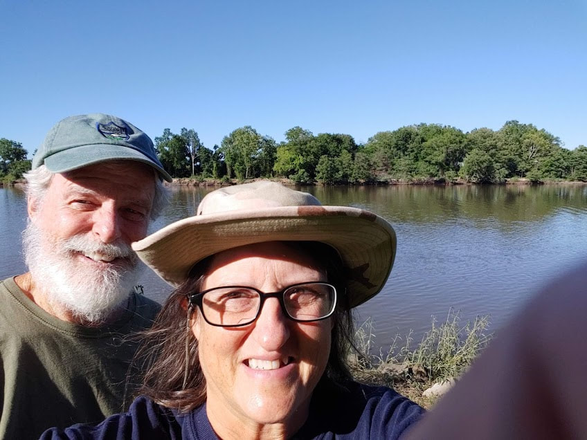
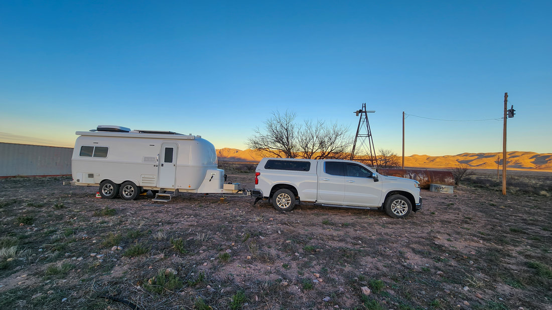
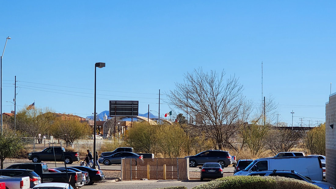
We had not been to Coronado, close to Douglas AZ, so we stopped by the ranger station to get some info since the forest? (minus the trees, in our area) was a very large wilderness area with dispersed camping. The problem is finding wilderness areas not on private land. After talking to 2 rangers for quite some time we were still confused about where to go as the rangers had never been to the places they told us to go. They did, however, tell us where we should not attempt to go because of road conditions and elevation changes. We ended up traveling down a very rough and narrow dirt road for a while until we determined we were lost. A friendly young man stopped to help us with directions. We turned around, quite a feat by the way, and headed back to take another turnoff and ended up deciding to stay put for the night since the turnoff led us on another road that seem impassable for our rigs. Making room on these roads for others to pass by was difficult. And this was a wide spot :) Another lame selfie attempt by me... us with Kathy and Chick next to "Wallace". See what I mean by "minus the trees"? Upon further study of our map this morning we determined that we spent the night on private property and did not make the park boundary. I think this happens frequently. No problems...this time. On the way to Coronado our travels took us very close to the Mexican border. We took some shots of the wall. You can see the flags off in the distance.
0 Comments
Leave a Reply. |
Archives
April 2025
Spike says "Hi"
Comments welcome on "Contact" page
|
Site powered by Weebly. Managed by Hostgator
